
Free · any time
Look at the dam
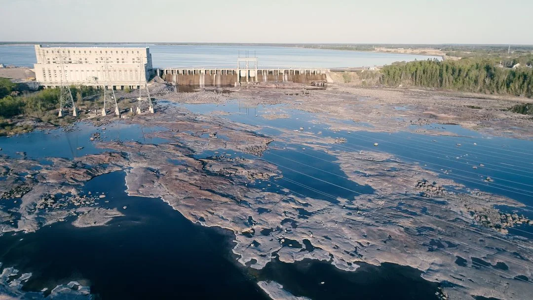
You can walk right up to it from the public side. Go in spring when the water is high and the spillway gates are open. Photos do not carry the sound.
Visitor guide
A village of about 180 people on the Winnipeg River, named for seven rapids that are no longer there. Here is what you can see, and how to get there from Pinawa.
Fur traders named this stretch of the Winnipeg River after seven rapids that ran one after the other. That is what the seven sisters were.
They are gone. Work on the dam started in 1929 and the water backed up over them. The last generating unit went in during 1952. So people who drive out expecting a waterfall are half right. There is falling water, and a lot of it, but it falls over a concrete spillway 225 metres wide.
It is still worth the drive. Standing at the bottom of an 18.6 metre drop with that much river coming over it is not something you forget.
Free · any time
You can walk right up to it from the public side. Go in spring when the water is high and the spillway gates are open. Photos do not carry the sound.
Free · day use
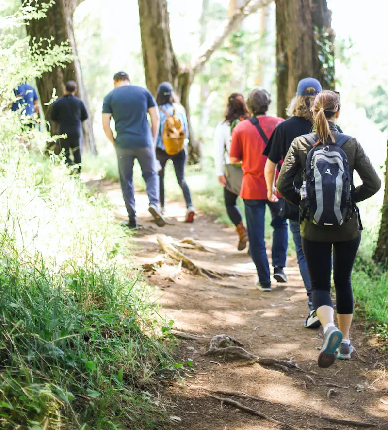
Made a park in 1974, where the Whitemouth River meets the Winnipeg River. Picnic tables, short walking paths and views of both rivers. Watch for white pelicans on the water and great grey owls in the trees.
17 km each way
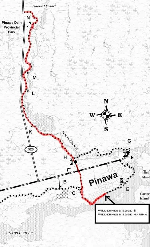
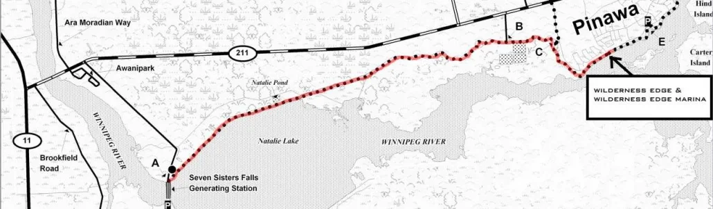
The Trans Canada Trail runs 17 km from Wilderness Edge to the dam. Flat, wide and well used. Walk it, bike it, or ski it in winter. A fork partway along comes out on Provincial Road 211 by a Smokey the Bear sign.
Open water and ice
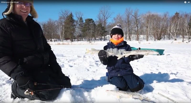
Walleye, pike and sauger below the dam. The tailrace stays open later into the winter than the rest of the river, which is why you see people out there in December.
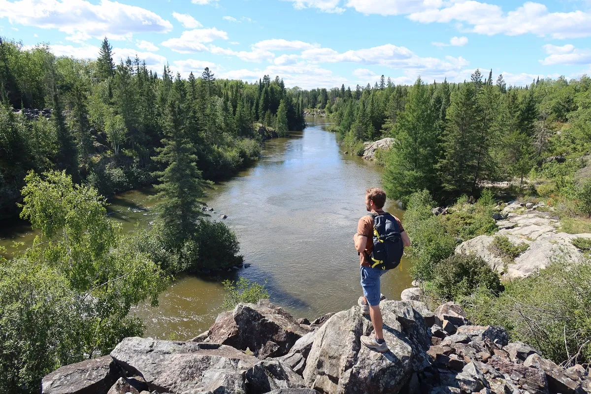
The road starts here
Provincial Road 307 leaves Seven Sisters Falls and runs into the north end of Whiteshell Provincial Park. It is the road to Nutimik Lake, Betula Lake and the Bannock Point petroforms.
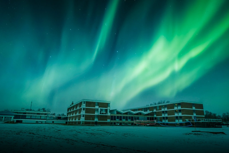
Clear winter nights
There is almost no light out here. On a clear cold night the northern lights show up over the river, and you do not need to drive anywhere special to see them.
The Seven Sisters Generating Station is the largest on the Winnipeg River. Manitoba Hydro runs it, and the numbers are worth reading before you stand in front of it.
Seven Sisters Falls is about an hour east of Winnipeg by road, on Provincial Road 307. The village sits on the north bank of the Winnipeg River in the Rural Municipality of Whitemouth.
From Pinawa you have a choice. Drive it, or take the Trans Canada Trail 17 km along the river. Most people who stay with us ride it. You can download a printable map of that trail on our Seven Sisters dam page.
Seven Sisters Falls is a village of about 180 people. It has a community centre and a few services, and that is part of why people like it. What it does not have is beds for a group.
The nearest place set up for that is Wilderness Edge in Pinawa, at the far end of the trail. 143 guest rooms, a kitchen that feeds a few hundred at a sitting, and meeting space. You can be at the dam in a short drive or a couple of hours on a bike.
Camping in the Whiteshell is the other option. Nutimik Lake and Betula Lake campgrounds are both up Provincial Road 307 from here.
Not the way there were. The name came from seven rapids on the Winnipeg River. The dam flooded them in the 1930s. What you see now is water going over an 18.6 metre spillway, which is loud and worth the trip, but it is a dam and not a wild falls.
In southeast Manitoba on the Winnipeg River, about an hour east of Winnipeg. It is in the Rural Municipality of Whitemouth, and Provincial Road 307 runs through it into Whiteshell Provincial Park.
Manitoba Hydro offers free tours of the station. Call 204-348-2603 a few days ahead to arrange one. You can walk up to the dam from the public side any time without booking.
Walk Whitemouth Falls Provincial Park, look at the dam, fish the river, and watch for pelicans and owls. Trails for hiking, cycling, skiing and snowmobiling run off Provincial Road 307.
17 km by the Trans Canada Trail, which you can walk, ride or ski. It is a short drive by road.
The village has about 180 people, so there is nothing set up for a group. The nearest place with rooms for one is Wilderness Edge in Pinawa, at the other end of the trail. Nutimik Lake and Betula Lake campgrounds are up Provincial Road 307.
We are 17 km down the trail in Pinawa. Send your dates and headcount and we will price rooms, meals and the ride in one go.
The trail map, the fork at the Smokey the Bear sign, and what to look for.
The town at the other end of the trail, and the nearest place with beds.
Provincial Road 307 leaves Seven Sisters Falls and runs straight into it.
54 metres across the channel, on the same trail system.
The other reason people drive out here in summer.
What is on site when you are not out on the trail.
Popular retreats
Popular conferences
wilderness edge retreat & Conference centre
© 2026 Wilderness Edge ltd. All Right Reserved. Privacy Policy Terms of Service
Technology partner with

20+ paying adults, 10+ rooms, 2+ nights. Program terms